“GIS is used for many great purposes including tracking COVID-19 during this unprecedented time,” said Crystal Jones, assistant dean of business and applied technologies.
MORE CLARK STATE NEWS: Clark State appoints Springfield native to business affairs team
GIS offers a method of presenting spatial or geographic data through interactive maps or other infographics, the release stated. This technology is not just for mapping, but is also able to assist with many types of locational analysis, including virus tracking.
“This may be a perfect moment to upgrade skills or even start a new career trajectory because many are unable to work as they did a couple months ago,” said Dr. Adam John Parrillo, associate professor and GIS/Geospatial program coordinator. “Geographic information systems is a technology born from human inquisitiveness and is a way to extend our own abilities to observe and analyze the world around us. While we examine the world, we can do this from safe distances using technology and data, so this program is able to be pursued online.”
MORE CLARK STATE NEWS: Clark State to host 2 graduation ceremonies; College Credit Plus graduates double
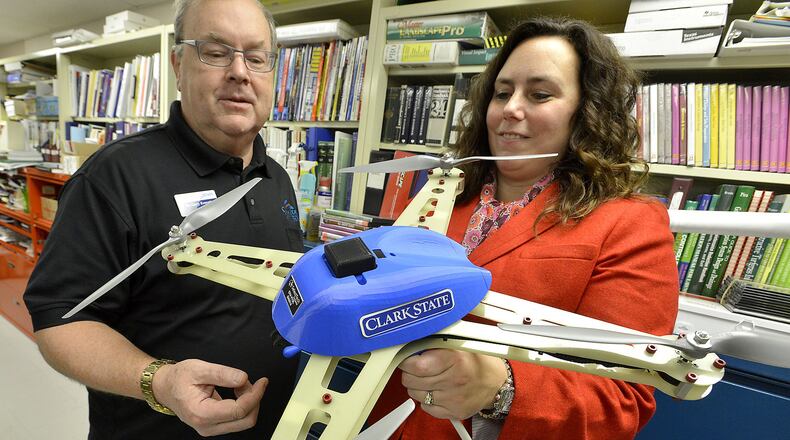
Students will be able to utilize their knowledge by earning certifications in remote sensing, analysis, programming and the latest in unmanned aircraft systems (UAS) operations, the release stated.
“By the end of the course, students are able to acquire and display data in maps which is the first step towards analysis,” Parrillo said. “Learning mapping and data handling is a great skill to acquire no matter the chosen discipline or profession.”
Registration for summer semester, beginning May 26, and fall semester, beginning Aug. 24, is now open.
About the Author
