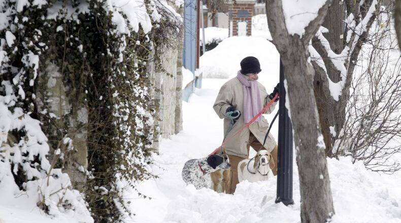
One predictive model earlier in the week showed up to a foot of snow headed to southwest Ohio, but those models dialed back the snow totals somewhat on Wednesday afternoon.
The European model on Wednesday afternoon showed snowfall amounts in the region could reach between 2 to 4 inches. The Global Forecast System model topped out between 6 to 10 inches of snow lasting into Saturday.
“I think a foot is extreme,” Elwell said. “This is not going to be a record-breaking storm. However, if we get more than 5 inches of snow, it will be the biggest storm in a couple of years.”
Even at the higher amounts, Elwell said 50-degree temperatures Wednesday and today may keep it from piling up.
“Even if we did get heavy snow, some of that’s going to melt,” he said.
» TRENDING: Family says Springfield man’s death at Clifton Gorge was an accident
The weather system that caused widespread rain and devastating mudslides in California will meet arctic air pushing out of Canada to produce the storm predicted to arrive Friday. The death toll in California reached 15 by Wednesday afternoon. As many as two dozen people were still missing after the mudslides.
On the eve of the storm here, Dayton will experience the warmest day of the year by far Thursday as the high temperature flirts with 60 — a little more than a week after experiencing a daily record low -13 degrees on Jan 2.
Dayton has received 9.3 inches of snow since Dec. 1 — less than an inch this month, according to the National Weather Service.
» RELATED: Winter Weather Awareness: What to have in your car kit
Storm Center 7 meteorologists monitoring the approaching system will know more about the track of the storm today, Elwell said.
“We have to see what’s left of the storm once it crosses the Rocky Mountains, and until that happens we don’t know,” he said.
Moisture streaming in ahead of the system will bring a chance of rain and may impact Thursday evening’s commute.
A wintry mix of sleet and freezing rain is expected to develop northwest of Dayton by morning on Friday, move through Dayton midday and transition to snow by the evening over the entire area.
After the snow, winds are expected to pick up Saturday causing drifting and diminished visibility.
By Saturday night, the low is set to drop to seven degrees, making Thursday’s temperatures a cruel memory.
About the Author

